Catalog Archive
Auction 198, Lot 424
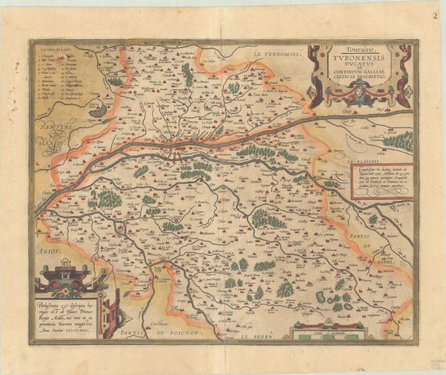
"Touraine. Turonensis Ducatus et Confinium Galliae Celticae Descriptio", Ortelius, Abraham

Subject: Central France
Period: 1602 (published)
Publication: Theatrum Orbis Terrarum
Color: Hand Color
Size:
18.1 x 14.1 inches
46 x 35.8 cm
Download High Resolution Image
(or just click on image to launch the Zoom viewer)
(or just click on image to launch the Zoom viewer)

