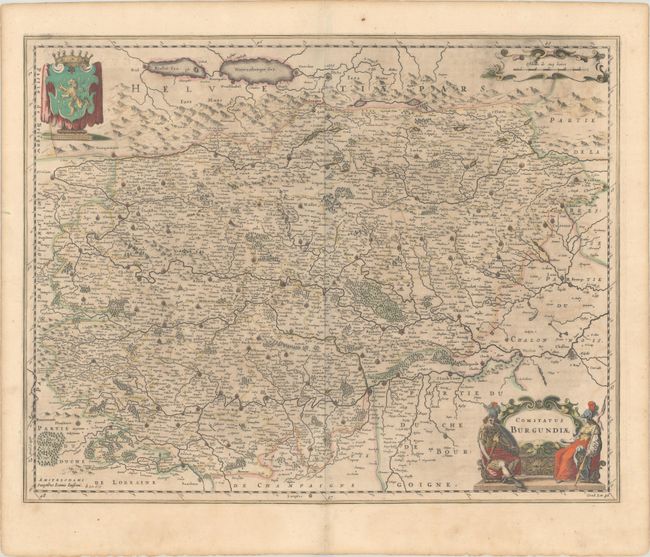
Subject: Eastern France
Period: 1646 (circa)
Publication: Atlas Novus
Color: Hand Color
Size:
21 x 16.5 inches
53.3 x 41.9 cm
An attractive map of the Franche-Comté region in France centered on Besançon with north oriented to the bottom left corner of the map. Finely engraved with minute detail and embellished with a bold title cartouche flanked by soldiers, a distance scale cartouche, and the coat of arms of Franche-Comté. Latin text on verso, published between 1646-57.
References: Van der Krogt (Vol. I) #4880:1C.2.
Condition: B+
A dark impression with full contemporary color on a lightly toned sheet. There is a manuscript brown ink notation "hondy" next to Jansson's imprint at bottom left.