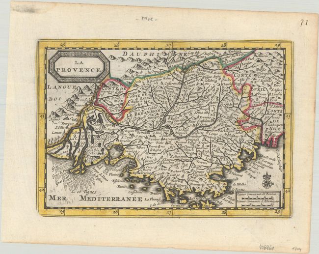
Subject: Southern France
Period: 1714 (published)
Publication: Atlas Soulage
Color: Hand Color
Size:
7.6 x 5.3 inches
19.3 x 13.5 cm
Charming little map of Provence in southern France fully engraved with numerous place names and adorned with a decorative title cartouche. The Rhone and Durance Rivers are meticulously mapped, noting even the marshy area at the mouth of the Rhone.
This is an extremely rare variant of a map first published in Jansson's new Atlas Minor in 1628. Van der Aa acquired the copperplates in the early 18th century for use in his Nouveau Petit Atlas, which was published circa 1714. The atlas was composed of nine parts, with the general portion falling under Nouveau Petit Atlas and then 8 individual regional parts under the title Atlas Soulage. Van der Aa revised the plate by updating the title cartouche (in French with a new border) and making other small changes. The atlas was only issued once and there is only one known complete copy extant, in the University Library of Leiden.
References: Van der Krogt (Vol. III) #4700:352.2.
Condition: A
A sharp impression on a bright sheet with contemporary outline color and a bit of marginal soiling.


