Catalog Archive
Auction 198, Lot 437
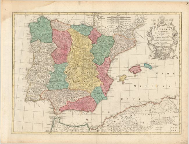
"Hispania ex Archetypo Roderici Mendez Sylvae et Variis Relationibus et Chartis Manuscriptis et Impressis Hujus Regni Rectificatis per Observationes Sociorum Academiae Scientiarum...", Seutter/Lotter

Subject: Spain & Portugal
Period: 1760 (circa)
Publication:
Color: Hand Color
Size:
24.4 x 17.6 inches
62 x 44.7 cm
Download High Resolution Image
(or just click on image to launch the Zoom viewer)
(or just click on image to launch the Zoom viewer)

