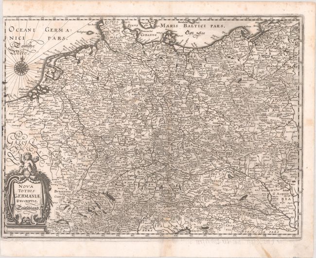
Subject: Central Europe, Germany
Period: 1662 (circa)
Publication: Theatrum Europaeum...
Color: Black & White
Size:
14.4 x 10.6 inches
36.6 x 26.9 cm
This map of the German Empire covers present-day Germany, Poland, Netherlands, Belgium, Switzerland, Austria, Czech Republic, and parts of Poland and Hungary. The map is densely engraved with information on political boundaries, towns, rivers, and topography. The decorative cartouche features a cherub, grapes, and other fruits.
References: Shirley (BL Atlases) G.MERI-2b #2.
Condition: B
A dark impression on a bright sheet with some printer's ink residue at left, light toning along the centerfold, and faint foxing. There is an archivally repaired tear that enters 2" into image at bottom right, and the left margin has been trimmed with loss of part of the neatline.