Subject: Cartographic Miscellany, Fictional Map - North Pole
Period: 1877 (published)
Publication:
Color: Black & White
Size:
9.6 x 13.6 inches
24.4 x 34.5 cm
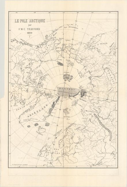
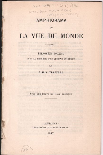
This scarce and fascinating, though completely fictitious, work was written by Francois W.C. Trafford in Lausanne. The 78-page account is based entirely on a detailed vision that the author had of various unknown parts of the world, including the interior of Africa, the Himalayas, and the North Pole. In the introduction, the author states that he forwarded his "memoir" to the scientific community, but heard nothing back. He continues that he made "a special description of the Arctic pole, and I tried to delineate a map which I attached, so that the discoveries of future explorers provide evidence of the vision that I dared to tell." The map itself shows a large "Plateau" taking up the pole with a canal and beach (!) stretching along its southern side. Access to this plateau appears to be provided through a series of lakes and a sea along the Greenland coast. Trafford finishes his introduction by stating that he should have described his vision as "A Midsummer Night's Dream." Disbound, map loose.
References:
Condition: B+
The folding map has light offsetting and a 2" fold separation at center that has been closed on verso with archival tape. Disbound text is very good with a hint of toning along the sheet edges.


