Subject: Rhine River
Period: 1632 (dated)
Publication:
Color: Hand Color
Size:
20.4 x 17.8 inches
51.8 x 45.2 cm
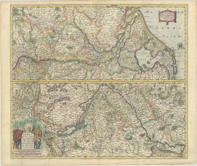
Two maps on one sheet, one above the other, charting the course of the Rhine River. Beginning on the bottom map, from its spring at the Bodensee in Switzerland, the river flows through the eastern part of Germany and transitions to the top map to show its course through western Germany, the Netherlands, and into the North Sea. Both maps are oriented with north to the bottom right corner, illustrated by a compass rose on each map. The lower map includes the title cartouche, which features two men and a casket of wine. Engraved by Pieter van den Keere. French text on verso, published in 1633.
References: Van der Krogt (Vol. I) #1120:1A.1.
Condition: A
A crisp impression with full contemporary color on a bright, watermarked sheet with a short centerfold separation at bottom that has been closed on recto with old paper, and light dampstaining and tiny tears along the edges of the sheet.


