Subject: Germany
Period: 1955 (circa)
Publication:
Color: Printed Color
Size:
45.8 x 33.6 inches
116.3 x 85.3 cm
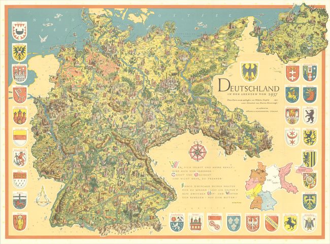
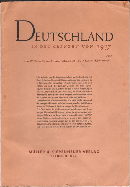
This large and handsomely designed work of persuasive cartography by Wilhelm Neufeld and Martin Kornfumpft was published in the post-war era as debates raged on the "German question" and reunification. It presents an idealized view of Germany as it existed under Nazi rule in 1937, when its boundaries extended into Poland as far as Hindenburg (Zabrze) and to East Prussia. The map reflects the desires of the German nationalists who longed to return to this configuration, which pre-dated the violations of international law such as the Anschluss and occupation of Czechoslovakia. As shown here, the unified Germany is lush and idyllic, with charming illustrations showcasing the architecture of each town and city. That vision of Germany is contrasted with a prosaic inset map showing the post-war divisions, with the various states of the Bundes Republik (West Germany), the SBZ / "DDR" (East Germany), and the easternmost areas under Polish control. The map is surrounded by 29 coats of arms representing various cities, with the coat of arms of Germany above the title. Beneath the ornate compass rose is an excerpt from Goethe's West–Ostlicher Divan calling for the joining of East and West; although Goethe is referring to an exchange of ideas between the Orient and Western world, it is here recontextualized to refer to the split between East and West Germany. The map was also published in smaller formats. This example tucks into a stiff paper portfolio with title and nationalistic text. Published by Muller & Kiepenheuer Verlag.
References:
Condition: A
A bright, crisp example issued folding with a few short fold separations, minor wear along the folds, and an edge tear that enters 0.5" into map image at top right and has been closed on verso with archival tape. The portfolio covers have a small chip on verso, some short tears, and light soiling.


