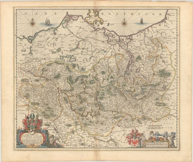
Subject: Northwestern Poland & Northeastern Germany
Period: 1659 (circa)
Publication:
Color: Hand Color
Size:
21.6 x 18.8 inches
54.9 x 47.8 cm
The area of northeast Germany and western Poland are shown in minute detail. The map is bordered by the cities of Dannenberg, Wittenberg, and Darlowo, Poland. The fortified city of Berlin is also shown. The map is adorned with two sailing ships, two compass roses, and two cartouches. At bottom left is a dedication cartouche to Elector Fredericus Gulielmus of Brandenburg, and at right the title cartouche incorporates putti holding a large key and the coat of arms of Brandenburg. Spanish text on verso, published between 1659-72.
References: Van der Krogt (Vol. II) #2170:2B.
Condition: A
A crisp impression with full contemporary color on a bright sheet with a large watermark of the god Atlas. There is minor toning along the centerfold and an archivally repaired centerfold separation at bottom.


