Catalog Archive
Auction 198, Lot 501

"Archiducatus Austriae Inferioris in Omnes Suas Quadrantes Ditiones Divisi Nova et Exacta Tabula", Homann, Johann Baptist

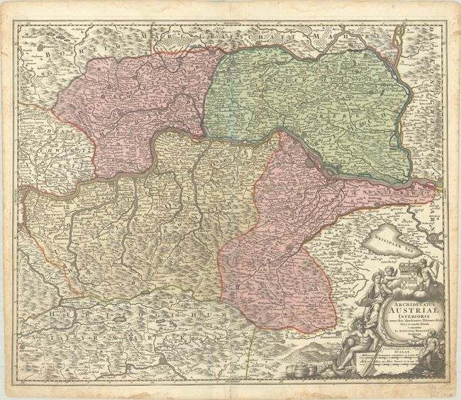
Subject: Eastern Austria

Period: 1720 (circa)

Publication:

Color: Hand Color

Size:
23.2 x 19.3 inches
58.9 x 49 cm
Download High Resolution Image
(or just click on image to launch the Zoom viewer)

This large and boldly engraved map centers on St. Polten and details Lower Austria, along the course of the Danube River. The map extends as far south as Pinkhenfeldt and west to Ens and Steyr. Excellent detail features the mountains, forests, rivers, roads, villages and fortified cities. The large and very decorative allegorical cartouche is surrounded with putti, a river god, and a coat of arms.

References:

Condition: B+

A nice impression with full contemporary color on a bright sheet. There are dampstains and foxing along the edges of the sheet, and a long centerfold separation at bottom and adjacent tear have been repaired with old paper on verso.

Estimate: $180 - $210

Unsold

Closed on 6/19/2024

Archived