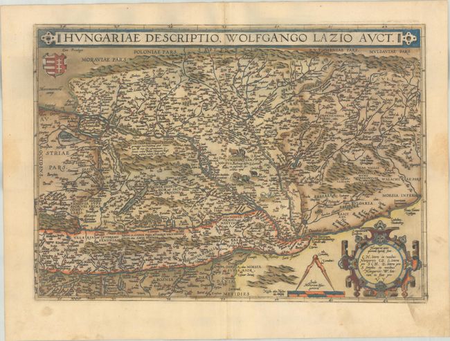
Subject: Hungary
Period: 1579 (published)
Publication: Theatrum Orbis Terrarum
Color: Hand Color
Size:
19.4 x 13.9 inches
49.3 x 35.3 cm
This handsome map covers Hungary, eastern Transylvania, and Bulgaria. Ortelius based this map on Wolfgang Lazius' 1556 five-sheet wall map. It is densely engraved with rivers, lakes, mountains, and hundreds of place names, each represented by a tiny castle. Tiny animals fill the blank spaces. The title spans the top of the map in a strapwork cartouche. At bottom right is a large decorative cartouche containing the rules for Hungarian consonant pronunciation of the place names. This is the fourth state with additional stippling added in the lakes, with Latin text on verso.
References: Van den Broecke #150.4.
Condition: A
A sharp impression with full contemporary color on a bright sheet with the crossed arrows watermark commonly found on Ortelius maps. There is marginal soiling and light dampstains along the sides of the sheet, not affecting the image. The green pigment has browned, but the paper is still supple.


