Catalog Archive
Auction 198, Lot 503
"Imperii Orientalis et Circumjacentium Regionum sub Constantino Porphyrogenito et ejus Praedecessoribus Descriptio...", Delisle, Guillaume
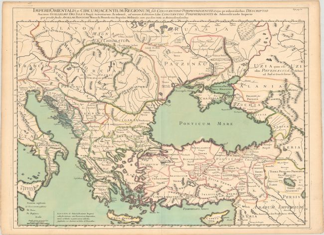
Subject: Eastern & Southern Europe
Period: 1700 (circa)
Publication:
Color: Hand Color
Size:
25.2 x 18.8 inches
64 x 47.8 cm
Download High Resolution Image
(or just click on image to launch the Zoom viewer)
(or just click on image to launch the Zoom viewer)