Catalog Archive
Auction 198, Lot 511

"Partie Septentrionale de la Russie Europeenne ou sont Distingues Exactement Toutes les Provinces, d'Apres le Detail de l'Atlas Russien", Robert de Vaugondy/Santini

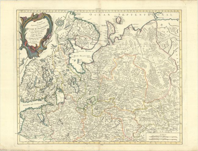
Subject: Russia in Europe

Period: 1776 (circa)

Publication:

Color: Hand Color

Size:
23.4 x 18.8 inches
59.4 x 47.8 cm
Download High Resolution Image
(or just click on image to launch the Zoom viewer)

This large and remarkably detailed map covers the region from the Gulf of Finland and St. Petersburg east to the Ural Mountains, here called the Monts Poyas. Riga in Poland is located, and Moscow is shown in the extreme south within the map's border. Most of Finland and northwestern Russia is included. Details include mountains, rivers, forests, and scores of place names. The large decorative title cartouche fills the upper left corner.

References: cf. Pedley #79.

Condition: A

A nice impression with contemporary outline color and attractive later color in the title cartouche, on a sheet with an "Imperial" coat of arms watermark. There is faint toning along the centerfold, a tiny hole at right, and a minor vertical crease.

Estimate: $150 - $180

Sold for: $110

Closed on 6/19/2024

Archived