Catalog Archive
Auction 198, Lot 512

"Governi di Moscovia e Woronez Colle Loro Provincie nella Russia Europea di Nuova Projezione", Zatta, Antonio

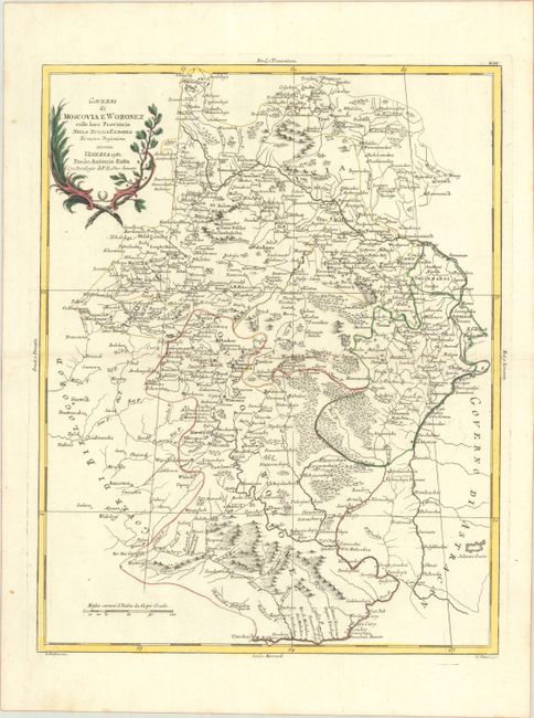
Subject: Southwestern Russia

Period: 1782 (dated)

Publication: Atlante Novissimo

Color: Hand Color

Size:
13.1 x 16.6 inches
33.3 x 42.2 cm
Download High Resolution Image
(or just click on image to launch the Zoom viewer)

This detailed map illustrates the region between Moscow, Kostroma and Volgograd. Political boundaries, towns, rivers and mountains are well depicted. Engraved by G. Pitteri.

Antonio Zatta was one of the leading Italian cartographers and publishers of the time, and his Atlante Novissimo was one of the most beautifully produced 18th century atlases. He drew on the work of contemporary cartographers including Robert de Vaugondy and Bellin, and developed his own distinctive elegant style.

References: Shirley (BL Atlases) T.ZAT-1a Vol. 2 #33.

Condition: A

Contemporary color on a bright sheet with a three crescent moons watermark, and a printer's crease just below the centerfold.

Estimate: $120 - $150

Unsold

Closed on 6/19/2024

Archived