Catalog Archive
Auction 198, Lot 520
"Totius Danubii cum Adjacentibus Regnis nec non Totius Graeciae et Archipelagi Novissima Tabula ex Recentissimis Subsidiis Concinnata et ad Leges Projectionis Stereographicae...", Homann Heirs
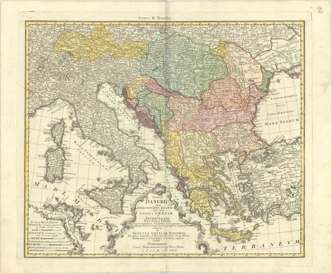
Subject: Southeastern Europe
Period: 1766 (dated)
Publication:
Color: Hand Color
Size:
21.8 x 18.4 inches
55.4 x 46.7 cm
Download High Resolution Image
(or just click on image to launch the Zoom viewer)
(or just click on image to launch the Zoom viewer)