Catalog Archive
Auction 198, Lot 535
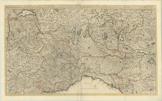
"[On 2 Sheets] Status Sabaudici, Tabulam in Ducatum Sabaudiae, et Montisferrati... [and] Sedes Belli in Italia; in qua sunt, Ducatus Mantuensis, Modenensis...", Ottens, Reiner and Joshua

Subject: Northern Italy
Period: 1720 (circa)
Publication:
Color: Hand Color
Size:
36.9 x 22 inches
93.7 x 55.9 cm
Download High Resolution Image
(or just click on image to launch the Zoom viewer)
(or just click on image to launch the Zoom viewer)

