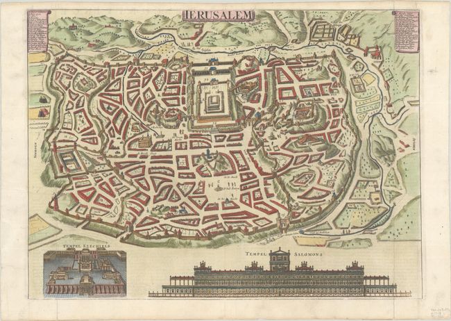
Subject: Jerusalem, Holy Land
Period: 1718 (published)
Publication:
Color: Hand Color
Size:
16.8 x 12.4 inches
42.7 x 31.5 cm
This detailed bird's-eye plan was one of the most popular plans of Jerusalem during the seventeenth century. While it is imaginary, it provides great detail of the city walls and streets, with 36 principal sites numbered and keyed to a table in scrolls in the top corners. This is the second state with views of "Temple Ezechiels" and "Tempel Salomons" replacing vignettes of biblical scenes. Dutch text on verso. Isaac van der Putte was a Dutch publisher who acquired Danckerts plate for Jerusalem (1646), on which this map is based.
References: Poortman & Augusteijn #173.
Condition: A
A crisp impression on a bright sheet, issued folding with archival repairs to short fold separations confined to the blank margins.


