Catalog Archive
Auction 198, Lot 593
NO RESERVE
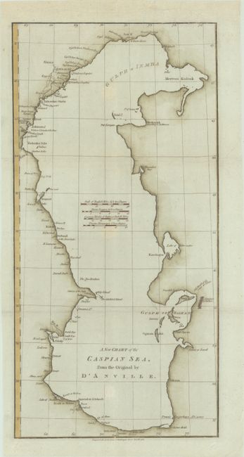
"A New Chart of the Caspian Sea, from the Original by d'Anville", Harrison, John

Subject: Caspian Sea
Period: 1788 (dated)
Publication:
Color: Hand Color
Size:
9.9 x 20.1 inches
25.1 x 51.1 cm
Download High Resolution Image
(or just click on image to launch the Zoom viewer)
(or just click on image to launch the Zoom viewer)

