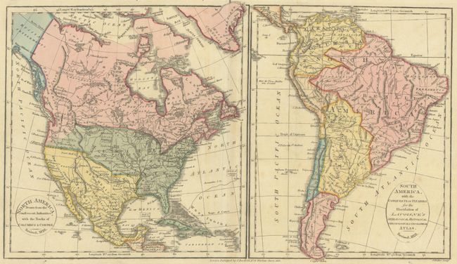
Subject: Western Hemisphere - America
Period: 1828 (dated)
Publication: Lavoisne's Complete Genealogical, Historical, Chronological, and Geographical Atlas
Color: Hand Color
Size:
15.6 x 9.1 inches
39.6 x 23.1 cm
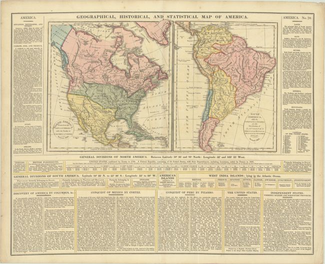
This sheet featuring two small maps of the Americas was published in John Barfield's British edition of Lavoisne's atlas. The map of North America is 8.5 x 9.0" and South America is 7.1 x 8.9". An uncommon revised edition dated 1828, this map is updated to include new territorial boundaries and 24 states. Florida Territory is shown as part of the United States after the Adams-Onis treaty of 1819. Texas, New Mexico, and New California are part of Mexico. The United States extends beyond the Continental Divide to incorporate Quivira or Moozemlek, and the coast of the Pacific Northwest is noted by "Vancouver's Surveys." Alaska is Russian Settlements, with Prince William's Sound identified. Engraved by J. Walker. The surrounding text gives much information on the climate, history, and discovery of the Americas. On a sheet of English text that measures 21.9 x 17.9".
References:
Condition: B+
Full contemporary color on a watermarked sheet with light foxing, minor toning, and a few soft extraneous creases.