Catalog Archive
Auction 198, Lot 639

"Carte d'Afrique, Divisee en ses Principaux Etats, Dressee, sur les Observations Astronomiques de Mrs. de l'Academie Royale des Sciences...", Clouet, Jean Baptiste Louis
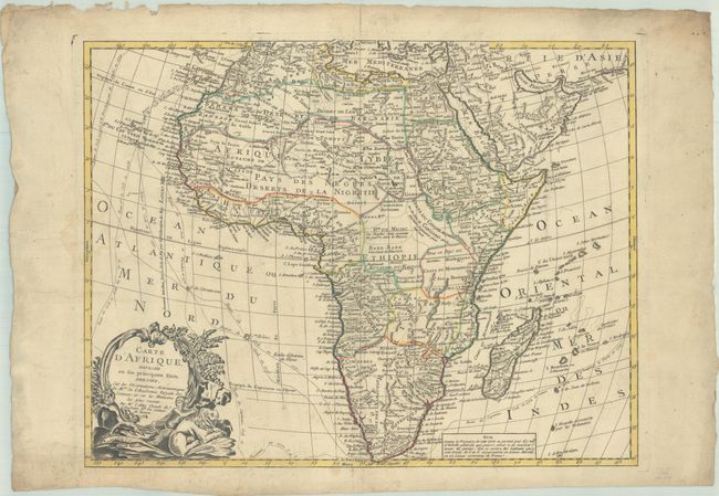
Subject: Africa

Period: 1788 (dated)

Publication:

Color: Hand Color

Size:
24.4 x 19 inches
62 x 48.3 cm
Download High Resolution Image
(or just click on image to launch the Zoom viewer)

This uncommon map of the continent and Madagascar details all of Africa, divided into kingdoms and tribes. The Senegal and Niger Rivers are correctly separated. In the southeastern portion of the continent Lake Moravi is shown well inland from Zanzibar. The tracks of Captain Cook's voyages are illustrated in the oceans. A decorative title cartouche features a child leaning on a lion.

References:

Condition: B+

A nice impression with contemporary outline color with light soiling that is more prominent along the deckled edges. This example has been backed in old linen.

Estimate: $350 - $425

Sold for: $250

Closed on 6/19/2024

Archived