Subject: North Pacific, Northern Asia & Northwestern North America
Period: 1713 (circa)
Publication: Universus Terrarum Orbis
Color: Hand Color
Size:
6.9 x 5 inches
17.5 x 12.7 cm
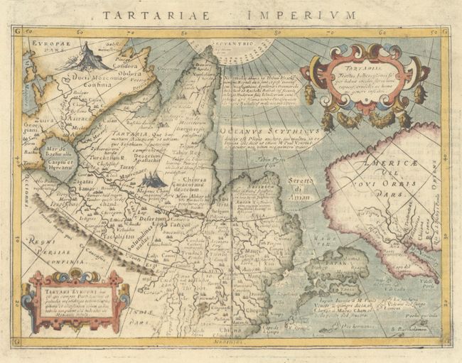
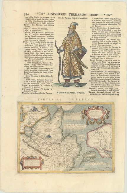
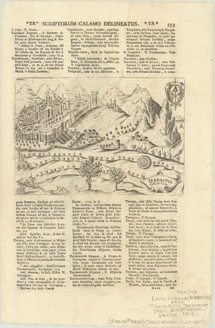
This handsome miniature map focuses on the North Pacific, including Northwestern America and Japan. While designed to illustrate the expansive Kingdom of the Great Khan in Asia, its main feature is the Stretto di Anian and the depiction of Northwestern America. The map covers northern Russia, China, and has an early, large depiction of Japan shown just off the American shore, dwarfing the rather misshapen California peninsula. It is decorated with two elaborate cartouches. Girolama Porro originally engraved this map for Giovanni Magini's quarto edition of Ptolemy's Geographia in 1596. The map was very popular and subsequently appeared in Lasor a Varea's work more than a century after it was first engraved. Above the map is a figure in local dress, and on verso is Terracina Citta di Camp (7.0 x 4.9"), based on the plate by Pietro Bertelli. On a sheet of Latin text measuring 8.8 x 13.4".
Lasor a Varea, whose real name was Raffaello Savonarola, published his two-volume scriptural and historical dictionary with nearly 500 maps that were taken from old plates by Valegio, Porcacchi, Rosaccio-Franco, and Magini, many of which were more than a century old, and often reworked.
References: cf. Burden #95; Shirley (BL Atlases) T.LAS-1a #439 & #440.
Condition: A
The impression is a bit uneven, and there is minor foxing and printer's creases in the margins.


