Subject: North America
Period: 1828 (circa)
Publication:
Color: Hand Color
Size:
8 x 9.7 inches
20.3 x 24.6 cm
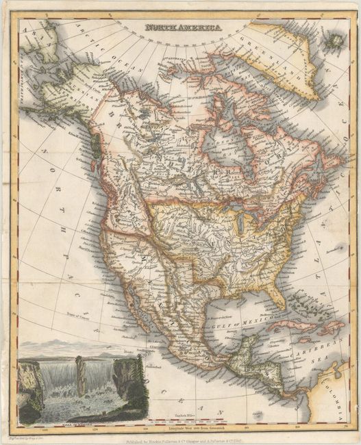
This handsome map of the continent is filled with rich detail and interesting territorial configurations. Missouri Territory reaches from the Choctaw land just north of Texas to present-day Montana, and Western Territory fills the region from Oregon to British Columbia. Texas, New Mexico, and New California are all part of Mexico. The coast from Cape San Sebastian to Vancouver is labeled New Albion. Alaska is Russian Territory. A lovely view of Niagara Falls adorns the lower left corner. Engraved on steel by Gray & Son. Published by Blackie, Fullarton & Co. in Glasgow and A. Fullarton & Co. in Edinburgh.
References:
Condition: B+
Issued folding, now flat and backed in old paper, on a sheet that has been trimmed close to neatline at right, with a few tiny abrasions along the neatline and minor soiling.


