Subject: Atlases
Period: 1729 (published)
Publication:
Color: Black & White
Size:
8.1 x 10 inches
20.6 x 25.4 cm
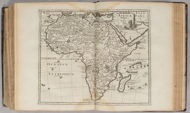
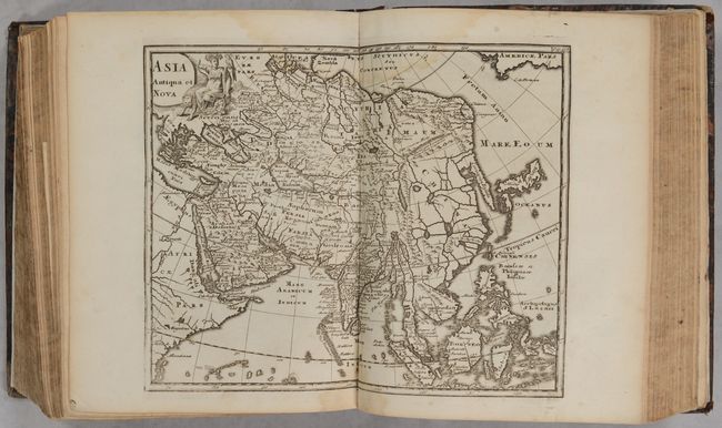
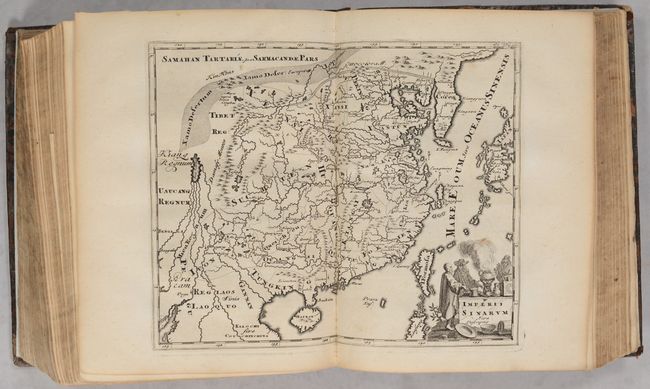
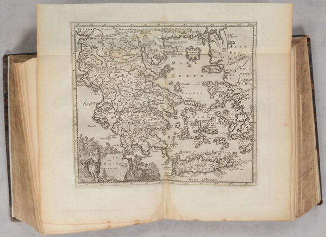
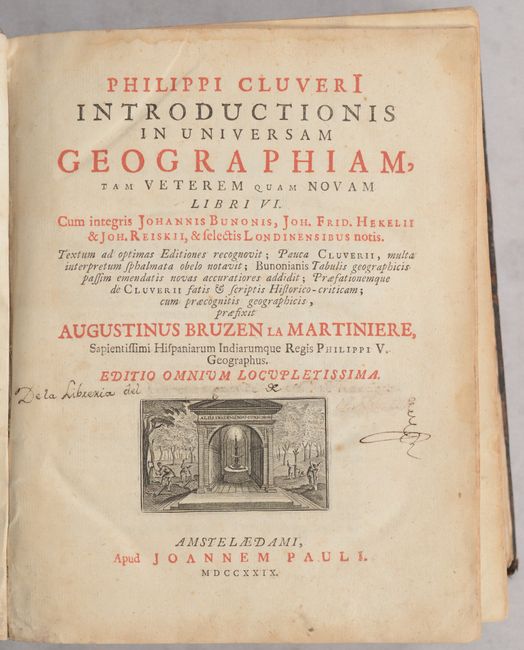
Cluver’s Introductio is considered the standard for 17th and early 18th century geographical text books, as he is the father of modern historical geography. This example is the final 1729 edition of Cluver's geography, published by Joannem Pauli and edited by Bruzen de la Martiniere in Amsterdam. It has the same 43 maps as the 1697 edition with 4 additional maps after Delisle for a total of 47 maps. The present example contains 43 maps including the continents (America, Africa, Asia, and Europe), and many regional maps within Europe, Asia and Africa. It is missing two world maps, one each of France and Germany, and a map of southern Greece has been replaced with a map western Greece.
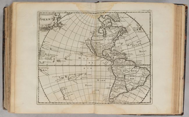
Of particular interest is the small map of America derived from the Nicolas Visscher map of 1658, with a Briggs-type island of California and no Great Lakes in North America. The interior rivers of South America are all connected to a large, spurious lake labeled Lago de los Xarzyes. A depiction of the discoveries of Maarten Gerritsz de Vries' voyage appears in the waters north of Japan, and Abel Janszoon Tasman's discoveries are shown in New Zealand. The map is decorated by a drape-style title cartouche held aloft by a cherub.
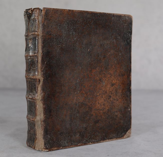
Cluver's Introductio in Universam Geographicam was a popular atlas, appearing in over 45 editions during a 100-year period. The first edition was published without maps in the 1620s, and the first edition to include maps was published circa 1641. The various editions became more elaborate over time and were published in different cities throughout Europe, including Amsterdam, Nuremberg, and London. 688 pages of Latin text plus an extensive index. Hardbound in full leather with raised bands on spine.
References: Shirley (BL Atlases) T.CLUV-8a; Burden #732; McLaughlin #177.
Condition: B+
The maps range from good to near fine with the majority being very good or better. There are periodic light dampstains throughout affecting less than half the maps, and a bit of toning here and there. The text follows a similar pattern. There are a few manuscript notations on the title page. New endpapers. Covers are moderately worn and somewhat bowed. Spine is partially cracked with partial loss of title label.