Subject: Atlases
Period: 1834 (published)
Publication:
Color: Hand Color
Size:
4.3 x 6.8 inches
10.9 x 17.3 cm
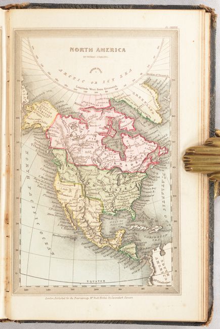
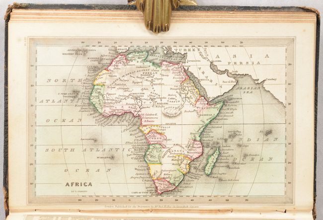
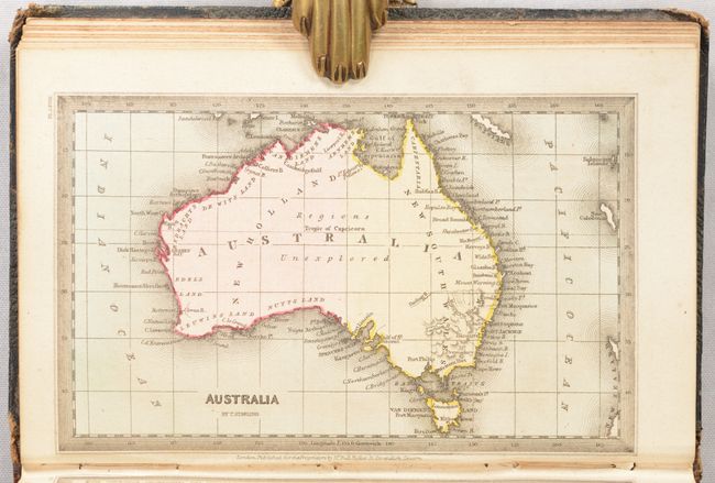
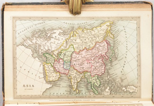
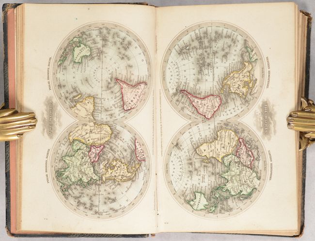
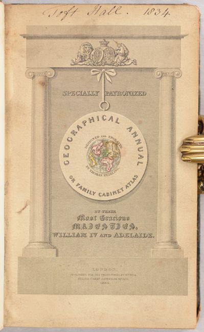
This very popular Victorian miniature atlas includes 46 (of 48) single-page maps. Maps include the world (3), Europe (21), Asia (6), Oceania (2), Africa (4), North America (5), and South America (3). Missing are the maps of the West Indies and eastern South America. An index for each map can be found on the facing page. The map of the United States shows a large Arkansas Territory extending into present-day Oklahoma and a huge Missouri Territory extending north into British Columbia, reflecting U.S. interests in the region. A beautiful steel engraved title page features a small globe at center, and is followed by the preface, table of contents and plates. Hardbound in quarter calf with tips over pebbled cloth boards.
References:
Condition: B+
Maps have contemporary color and are very good with some light foxing and soiling. Text block is cracked and somewhat loose. A few pages have pencil notations on verso. Spine backstrip is very worn and chipped at the head and tail. Covers have average wear and the front cover is starting.