Subject: Atlases
Period: 1851 (published)
Publication:
Color: Hand Color
Size:
9.8 x 12 inches
24.9 x 30.5 cm
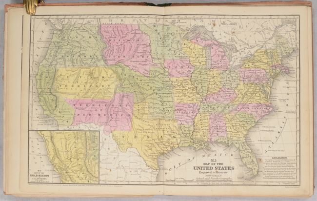
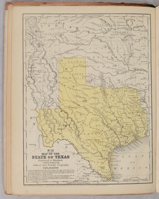
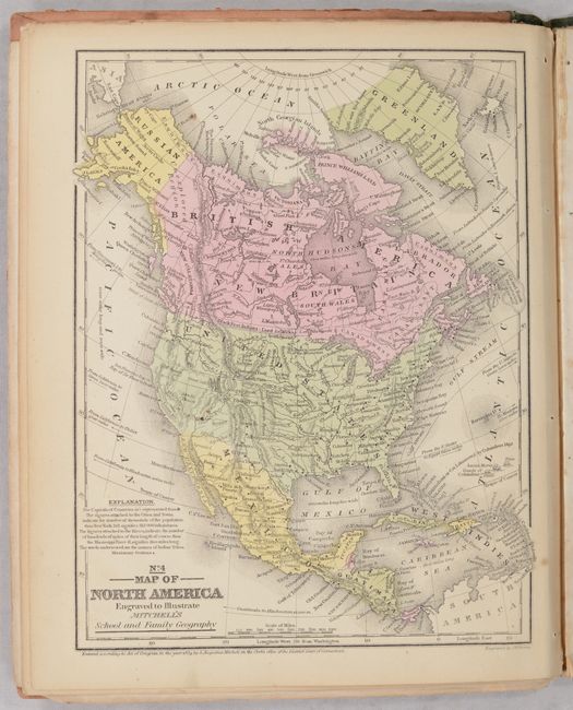
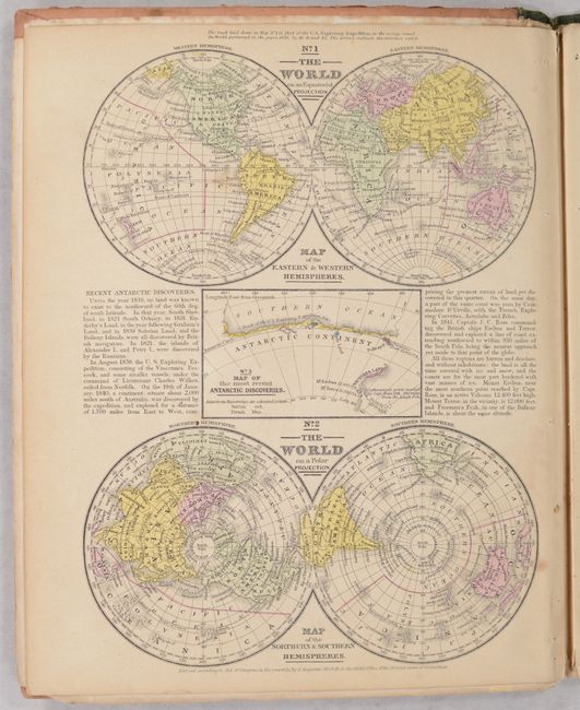
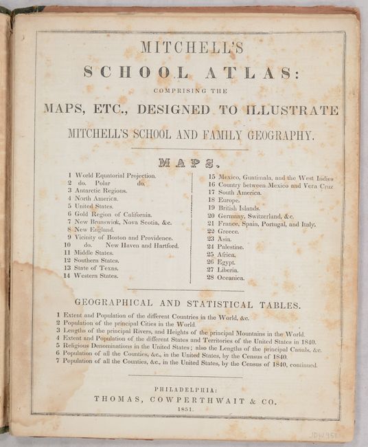
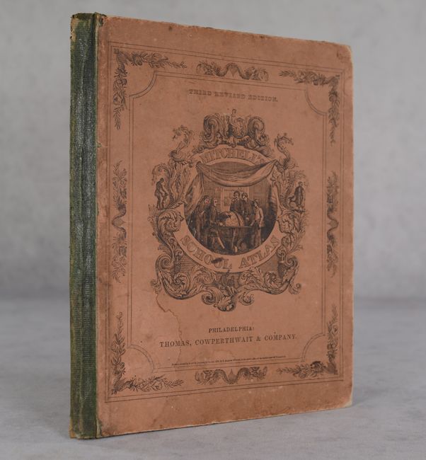
This is the third edition of Mitchell's school atlas, complete with 28 maps on 12 single-page and 5 double-page sheets. Of particular interest is the double-page map of the United States that features transitional western borders including the important territorial acquisitions of the Mexican-American War, pre-Gadsden Purchase. Oregon Territory extends to the Continental Divide, Minnesota Territory includes the eastern Dakotas, and the huge Missouri Territory rests between the Continental Divide and Minnesota. The inset map "No. 6 Map of the Gold Region of California" delineates the Gold Regions, naming Sutter's Buttes, Sacramento City, and all of the important creeks of the gold region feeding into the Sacramento and Feather Rivers. The atlas also contains a nice single-page of Texas, the first edition to reflect its final state boundaries. Hardbound with pictorial paper over boards. Published by Thomas, Cowperthwait & Co.
References:
Condition: B+
Condition code is for the maps, which are remarkably clean and bright with only a few spots of foxing here and there. Title page is moderately foxed with a dampstain at bottom, which is also visible in the statistical tables that precede the maps. Text block has separated from the binding and there are a couple of loose sheets. Covers have moderate wear and staining.