Subject: Atlases
Period: 1862 (published)
Publication:
Color: Hand Color
Size:
15 x 18.7 inches
38.1 x 47.5 cm
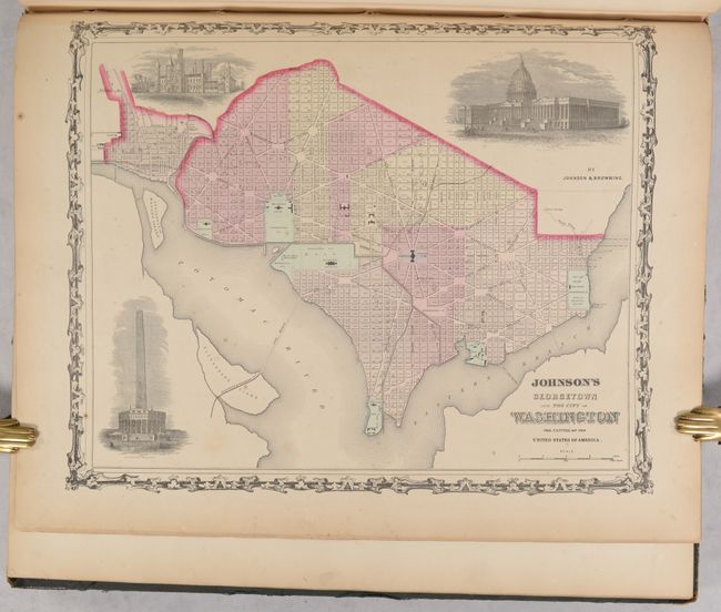
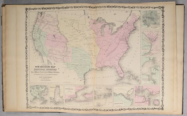
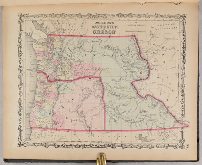
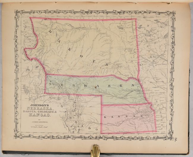
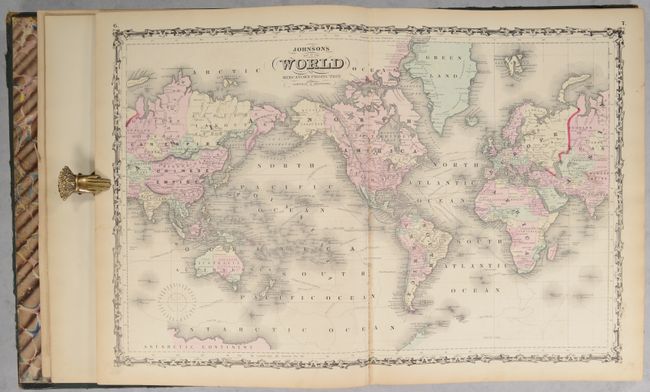
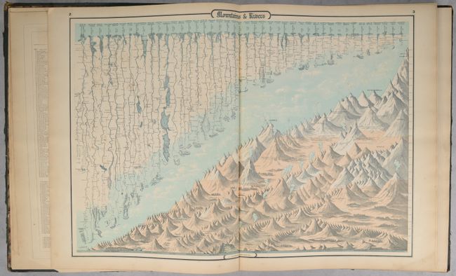
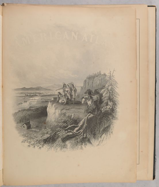
This popular atlas is complete and contains 30 single-page maps and 31 double-page maps. These are all beautiful, steel engraved plates with rich color and tremendous detail. Many of the maps include vignettes showing important buildings and vivid scenes. This desirable atlas is highlighted by the short-lived New Military Map of the United States showing military districts. Other maps of interest include Georgetown and the City of Washington; a great map of the plains territories, a nice map of the Pacific Northwest, and a beautifully engraved frontispiece. This atlas also contains several thematic maps and diagrams interspersed throughout the text.
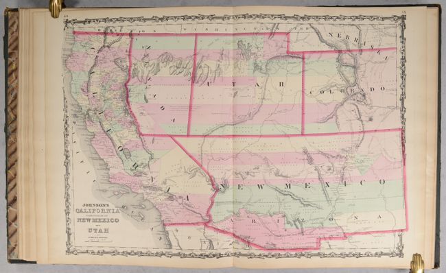
The map of the Southwest is one of the most desirable editions. This is an uncommon edition from this great series of maps covering the Southwest, with the newly formed Nevada shown occupying part of California to the summit line of the Sierras. The western border of Nevada extends south from Goose Lake (just west of the 120th meridian) and then continues along the Sierra Nevada Mountains, and finally extends east to meet with the southern border of Utah. The Utah/Nevada border is also too far west on the 116th meridian. Arizona shows up in the southern part of New Mexico Territory. This is thought to represent the Confederate Territory of Arizona that existed for nearly a year from August 1861 until July of 1862. The Confederate General Baylor appointed himself the territorial governor and claimed all of New Mexico Territory south of the 34th parallel. In the southern part of Arizona is the "Gadsden Ten Million Purchase of Mexico." The Gold Region in Colorado's South Park is prominently shown, along with the Hastings Road and the routes of numerous explorers and military expeditions. The map is filled with historic and interesting notations. One note in the area of Quartzite, Arizona refers to the area as being "exceedingly fertile and abundantly timbered and well watered." Additional details include the U.S. Mail routes, the Emigrant road to California, and the proposed railroad route through Utah, Nevada and California.
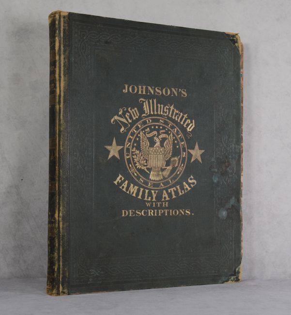
Folio. Original hardbound quarter calf and tips with embossed green cloth covers, titling in gilt on front cover and spine, and marbled endpapers.
References:
Condition: B+
Condition code is for the maps, which have contemporary color and light toning along the edges of the sheets. A few of the maps have short centerfold separations at bottom, including KY/TN and MI/WI. Two maps (Northern South America & Germany) are in "B" condition due to staining in the image. The title page, census page, and list of maps have a chip at bottom right. This example belonged to a budding botanist, as there were numerous leaves and flowers pressed within, and we have attempted to remove as many as possible, but there are likely some remaining. The front cover and spine are detached from the text block, but the back cover is still attached. The covers are stained with some small abrasions, and the leather on the spine and tips is heavily worn.