Subject: Atlases, West Virginia
Period: 1883 (published)
Publication:
Color: Printed Color
Size:
11.2 x 14.9 inches
28.4 x 37.8 cm
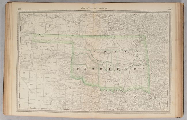
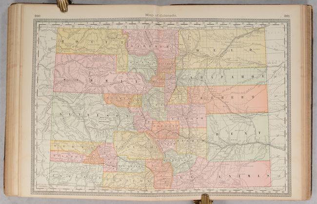
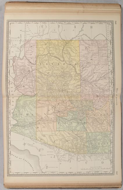
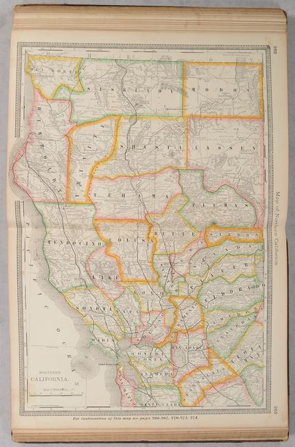
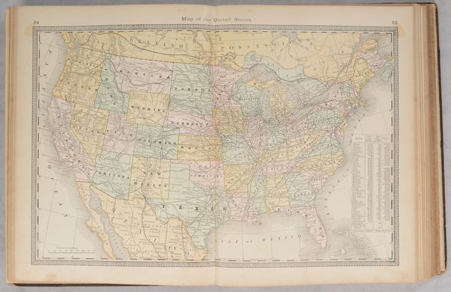
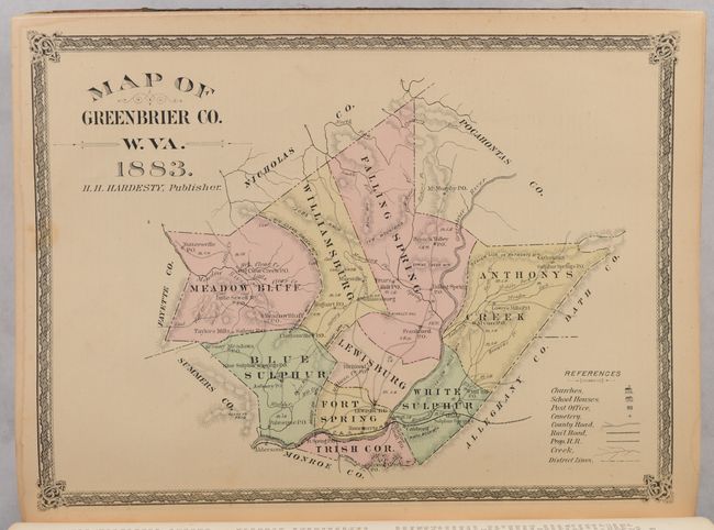
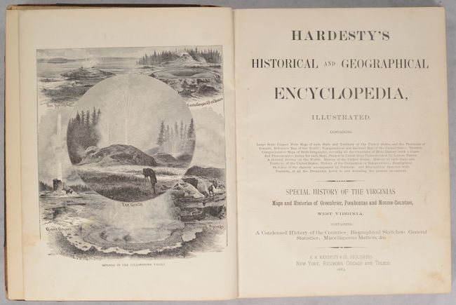
This large "encyclopedia" is profusely filled with maps and illustrations. 10 single-page biblical maps accompany a section entitled "The Bible Verified", while a total of 71 Rand-McNally maps, of which 61 are double-page, augment the "General View of the World" and "History of the United States." Of particular interest are maps of the West, including double-page maps of Indian Territory, New Mexico, Arizona, Colorado, Idaho and Montana. Also featured are 4 maps of Texas and 3 of California. At the rear of the volume is a supplement containing a "Special History of the Virginias" which feature hard to find West Virginia county maps including Pocahontas, Greenbrier, and Monroe counties. 413 total pages. Hardbound in quarter calf with tips over brown cloth boards with illustrative gilt title on the front cover.
References:
Condition: B+
Condition code is for the maps, which are almost entirely very good to mostly near fine, with a couple of the biblical maps in good condition with light staining. Text block is somewhat loose, spine backstrip has perished, and moderately worn covers are very loose.