Subject: Geography Books
Period: 1798 (published)
Publication:
Color: Black & White
Size:
5.6 x 8.6 inches
14.2 x 21.8 cm
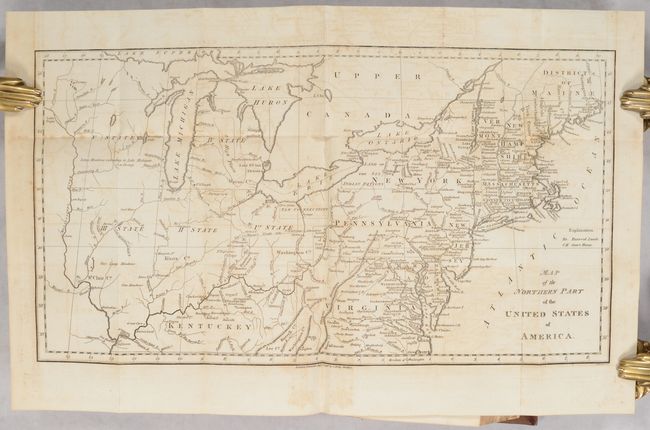
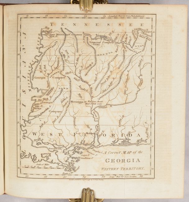
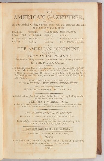
This is the complete English edition of this early American geography book that is considered to be the country's first gazetteer. The volume contains seven folding maps, including the Georgia Western Territory map which is not present in all copies. An example of the young country's anxious desire to expand westward can be seen on the Map of the Northern Part of the United States, based on the Abraham Bradley map, which shows several numbered designations for future states in the upper Midwest. This particular map also shows northern Ohio as New Connecticut. The populations of the states, cities, and towns are reported according to the fledgling nation's first official census in 1790. The maps in the English edition are engraved by John C. Russell and vary slightly from the maps engraved by S. Hill for the American edition. The list of maps:
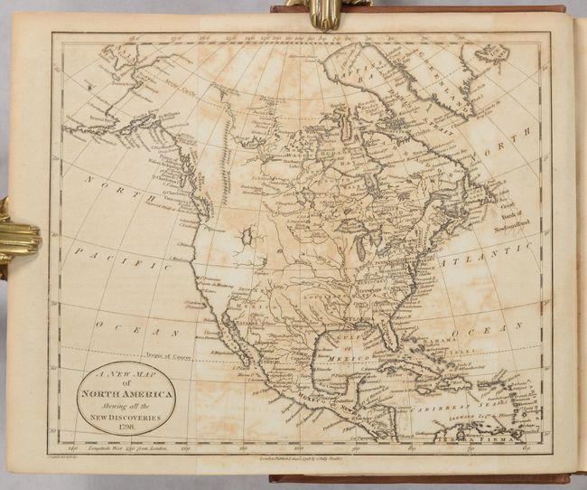
A. A New Map of North America Shewing all the New Discoveries. Condition: A crisp impression with moderate toning and offsetting and light foxing. (B)
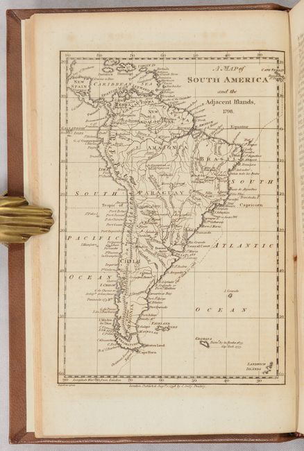
B. A Map of South America and the Adjacent Islands. Condition: Minor offsetting from an opposing page of text. (A)
C. A Correct Map of the Georgia Western Territory. Condition: Light toning and offsetting. (B)
D. Map of the Northern Part of the United States of America. Condition: Light offsetting and foxing, with a 1" fold separation in Upper Canada. (B+)
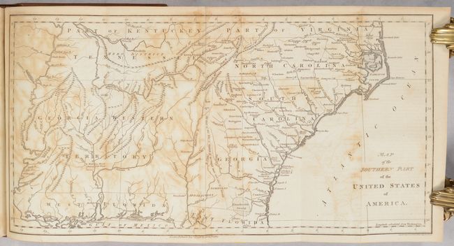
E. Map of the Southern Part of the United States of America. Condition: Moderate offsetting and toning and light dampstaining along a few folds. (B)
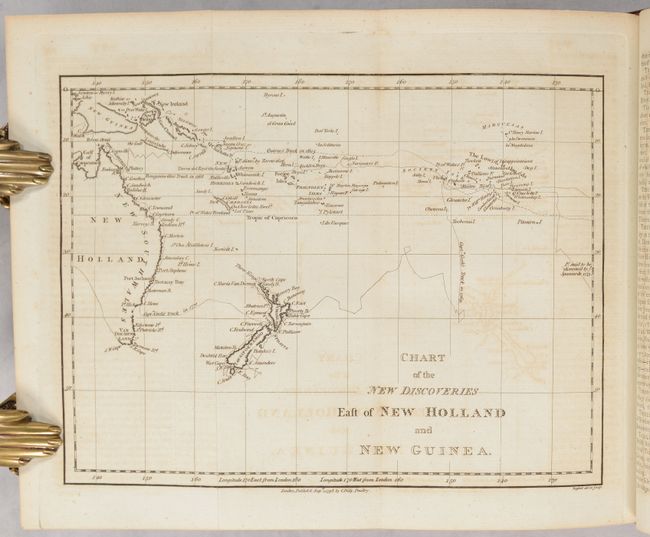
F. Chart of the New Discoveries East of New Holland and New Guinea. Condition: Light offsetting. (B+)
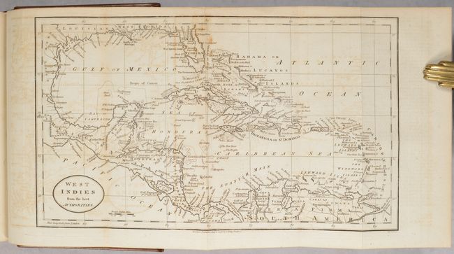
G. West Indies from the Best Authorities. Condition: Light offsetting and a light dampstain by Florida. (B)
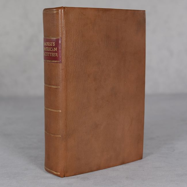
Originally published in Boston by S. Hall and Thomas & Andrew, this is the London edition "reprinted for J. Stockdale, Piccadilly; C. Dilly, Poultry; and T.N. Longman, Paternoster Row." According to the Advertisement, "The present Edition of this Gazetteer may very justly claim a degree of Superiority to that published in America," thanks to its properly alphabetized supplementary material, complete set of plates, and general improvements. Although the title page refers to it as a second edition, it is a reprint of the first edition with improvements. Newly rebound in leatherette with red title label and decorative gilt on the spine.
References: Howes #M-839.
Condition: B+
See description above for details on each map. Text is mostly very good, with light toning, foxing, and some offsetting from opposing pages. Binding is near fine.