Subject: History Books
Period: 1761 (published)
Publication:
Color: Black & White
Size:
5.3 x 8.1 inches
13.5 x 20.6 cm
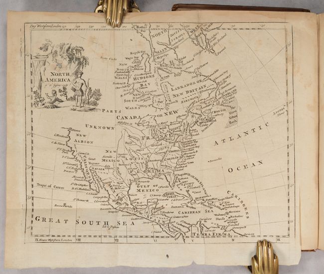
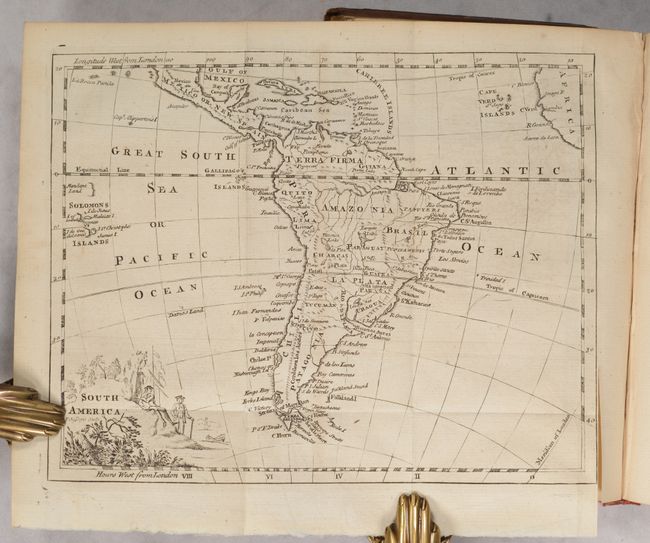
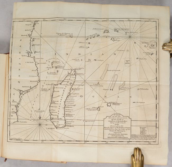
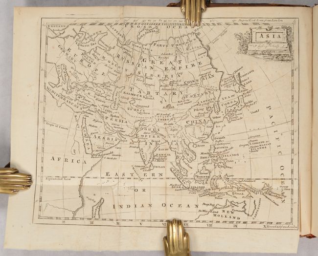
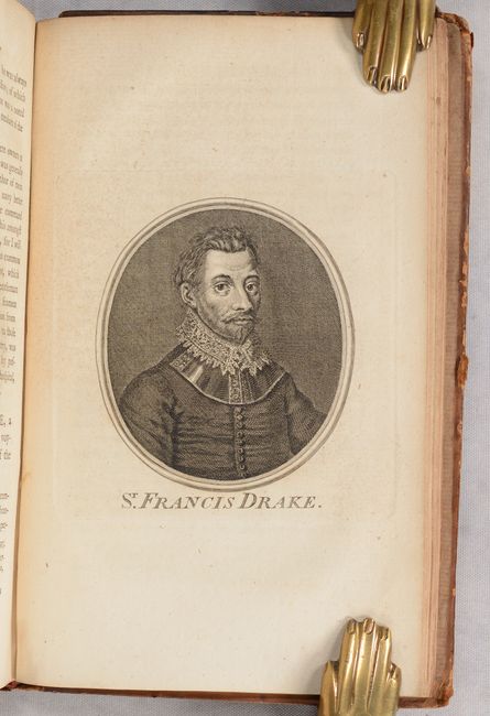
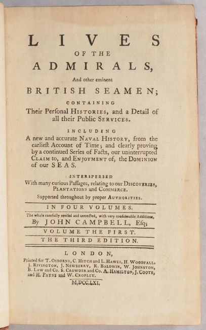
This exhaustive work by John Campbell provides the reader with an in-depth examination of the British navigators from the time of the ancient Britons (prior to Roman invasion) up until George I. The author states in the preface that "the great figure we (Britain) make in the world, and the wide extent of our power and influence, is due to our naval strength." Over 2,000 pages of text are illustrated by portraits including Sir Francis Drake, Sir Walter Raleigh and Admiral Blake as well as 6 small folding maps by Thomas Jefferys. The maps, mostly 9.0 x 7.2", include Europe, Asia, Africa, Southeastern Africa, South America and North America. This last map features a curious representation of the Mississippi River, a triangular Florida with a spurious mountain range, and a nice depiction of all the Great Lakes. The West is largely blank, with vast areas labeled Parts Unknown and New Albion. Detail on the California coast extends to C. Blanco, with the entire northwestern part of the continent left open-ended. The early British colonies are named along the Atlantic coast. Native Americans grace the scenic title cartouche. 2,174 total pages (v1 - 587 pp., v2 - 580 pp., v3 - 488 pp., v4 - 519 pp.). Hardbound in full contemporary leather with raised bands and gilt decorations on spine.
References:
Condition: B+
The folding maps are good to very good with minor foxing and offsetting. Text is generally clean and tight with occasional soiling mostly in the fourth volume. A few of the hinges are starting but the covers are still intact. Spines have some cracking and a couple title labels are missing. Covers have some light staining and average shelf wear.


