Catalog Archive
Auction 198, Lot 736

NO RESERVE

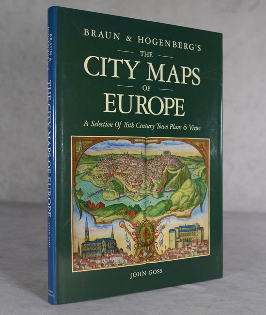
"Braun & Hogenberg's The City Maps of Europe - A Selection of 16th Century Town Plans & Views", Goss, John

Subject: References, Braun & Hogenberg

Period: 1991 (published)

Publication:

Color: Printed Color

Size:
11.4 x 15.3 inches
29 x 38.9 cm
Download High Resolution Image
(or just click on image to launch the Zoom viewer)

This reference features reproductions of some of the most interesting plates from Braun and Hogenberg's original Civitates Orbis Terrarum from 1572. The book contains 60 double-page reproductions of European cities, including Amsterdam, Edinburgh, Gdansk, Lisbon, London, Moscow, Paris, Rome, Venice, and Vienna. This is the first edition, published by Studio Editions in London; the following year, Rand McNally published an American edition with the title The City Maps of Europe - 16th Century Town Plans from Braun & Hogenberg. Hardbound in green cloth with gilt title on spine, and a pictorial dust jacket.

References:

Condition: A

Contents and covers are like new, with minor soiling on dust jacket.

Estimate: $60 - $80

Sold for: $110

Closed on 6/19/2024

Archived