Catalog Archive
Auction 198, Lot 747

NO RESERVE

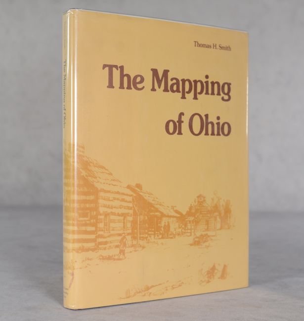
"The Mapping of Ohio - The Delineation of the State of Ohio Through the Use of Manuscript Maps, Printed Maps, and Plats...",

Subject: References, Ohio

Period: 1977 (published)

Publication:

Color: Black & White

Size:
9.2 x 12 inches
23.4 x 30.5 cm
Download High Resolution Image
(or just click on image to launch the Zoom viewer)

Thomas H. Smith's book reveals the evolution of maps and mapmaking in the state. Starting with the earliest sketches of the French, the book demonstrates how other cartographers viewed the area and filled in the gaps with additional information. More than eighty plates were used to document this evolution. 252 pages with numerous illustrations. Hardbound with gilt printed maroon cloth and patterned paper boards and an illustrated dust jacket protected by Mylar.

References:

Condition: A

Near fine, with slightly bumped corners and a hint of soiling to the back cover and dust jacket.

Estimate: $60 - $80

Sold for: $6

Closed on 6/19/2024

Archived