Subject: References, Scandinavia
Period: 1987 (published)
Publication:
Color: Printed Color
Size:
12.1 x 15.3 inches
30.7 x 38.9 cm
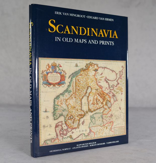
Written by Erik Van Mingroot and Eduard Van Ermen, both of the Department of History at the University of Leuven, this well-designed and informative reference covers the cartographic history of Scandinavia. It is divided into five chapters, one covering maps of the whole region and the rest covering maps focused on Denmark, Finland, Norway, and Sweden. There are more than 70 map illustrations, several of them double-page spreads in full color. Translated by Tony Mackrill. Published by Mappamundi in Belgium. 143 pages. Hardbound in dark indigo cloth with gilt titles on front cover and spine and an illustrated dust jacket.
References:
Condition: A
Contents are clean and tight, with minimal wear to covers.