Catalog Archive
Auction 198, Lot 85
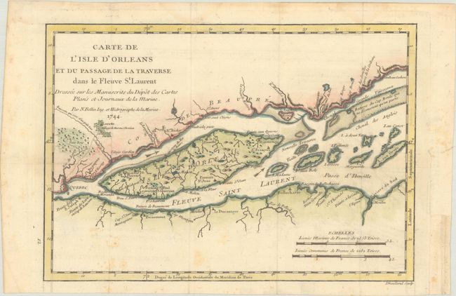
"Carte de l'Isle d'Orleans et du Passage de la Traverse dans le Fleuve St. Laurent Dressee sur les Manuscrits du Depot des Cartes Plans et Journaux de la Marine", Bellin, Jacques Nicolas

Subject: Ile d'Orleans & St. Lawrence River, Canada
Period: 1744 (dated)
Publication: Histoire et Description Generale de la Nouvelle France
Color: Hand Color
Size:
10.9 x 7.6 inches
27.7 x 19.3 cm
Download High Resolution Image
(or just click on image to launch the Zoom viewer)
(or just click on image to launch the Zoom viewer)

