Catalog Archive
Auction 199, Lot 119

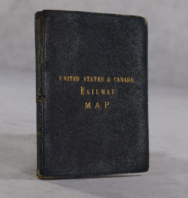
"Rand, McNally & Co.'s New Official Railroad Map of the United States Canada and Mexico", Rand McNally & Co.

Subject: United States

Period: 1886 (dated)

Publication:

Color: Printed Color

Size:
43.8 x 31.7 inches
111.3 x 80.5 cm
Download High Resolution Image
(or just click on image to launch the Zoom viewer)

This uncommon, large folding map features the extensive railroad network, with lines extending into portions of Canada and Mexico, along with scores of place names, topography, and the river systems. Includes a large inset, "Map of Atlantic Coast States Engraved on Enlarged Scale," plus small city plans of Boston, Cincinnati, New York, Philadelphia, St. Louis, Chicago, Buffalo & Niagara Falls, and Washington, DC. Dissected and backed on linen. Folds into brown cloth boards with gilt title on the front cover.

References:

Condition: B

Dissected and backed with linen. There is toning in the top left panel and light show-through from advertisements on verso. Covers are lightly worn with bumped corners.

Estimate: $275 - $350

Sold for: $140

Closed on 9/11/2024

Archived