Subject: Colonial Mid-Atlantic United States
Period: 1777 (published)
Publication: English Magazine
Color: Black & White
Size:
9.8 x 7.6 inches
24.9 x 19.3 cm
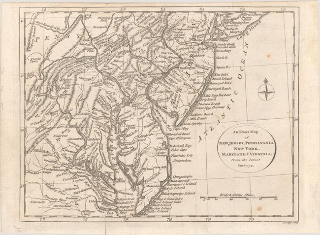
An uncommon Revolutionary War period map that extends from New York City south to include all the Chesapeake Bay and west to the Allegheny Mountains. It shows much of Pennsylvania, all of New Jersey and Delaware, and eastern Maryland and Virginia. Many towns and rivers are named; mountains and shorelines are shown in shaded relief. Although not named in the title nor on the map, the boundaries for Delaware are shown. To the far west, Frank's Town and Ray's Town are located. Distance scale at bottom right in British Miles with a circular title cartouche and simple compass rose in the Atlantic. This map was first published in the English Magazine in 1777 and followed in William Russell's The History of America in 1778. This is only the second time we have encountered this map.
References:
Condition: B+
A nice impression with a few faint spots. Issued folding.


