Subject: Delaware & Maryland
Period: 1877 (dated)
Publication:
Color: Hand Color
Size:
15.9 x 12.9 inches
40.4 x 32.8 cm
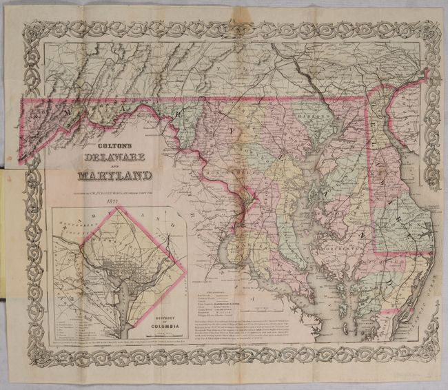
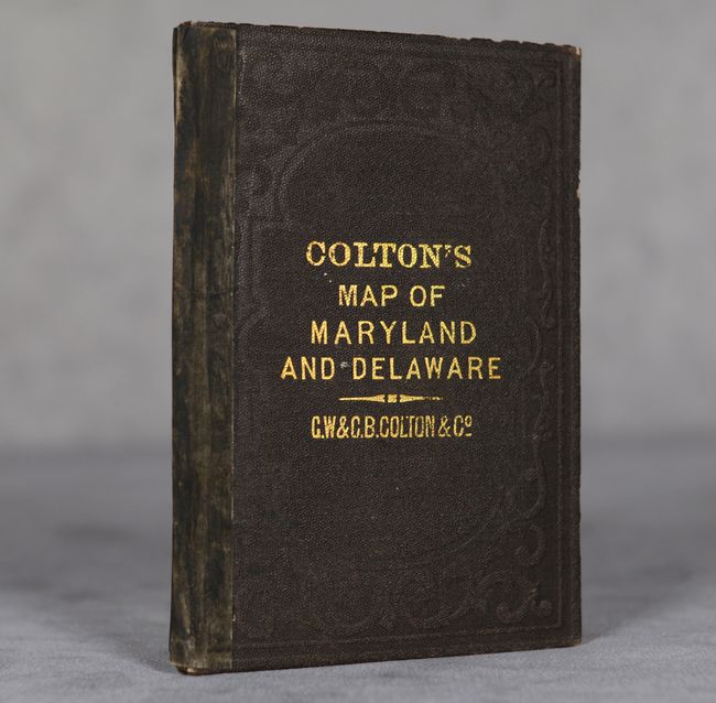
A detailed state and county map with railroads, roads, canals, cities and villages. Inset of the District of Columbia at lower left identifies 12 locations on the grid plan. Surrounded by a scroll border. Folds into brown cloth boards (3.5 x 4.9") with gilt title on the front cover.
References:
Condition: B
Issued folding with a fold separation at left that extends 0.5" into the image and old tape repairs to a few small separations along the central vertical fold. Other folds have old tape reinforcement on verso with some faint staining visible on recto. Covers are very good with light wear.