Catalog Archive
Auction 199, Lot 170

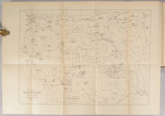
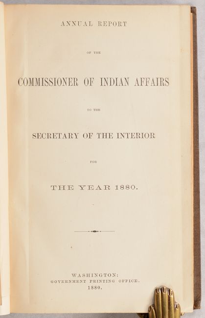
"[Map in Book] Map Showing Indian Reservations in the United States West of the 84th Meridian and Number of Indians Belonging Thereto 1880 [in] Annual Report of the Commissioner of Indian Affairs...", U.S. Bureau of Indian Affairs

Subject: Western United States

Period: 1880 (published)

Publication:

Color: Black & White

Size:
18.2 x 13.2 inches
46.2 x 33.5 cm
Download High Resolution Image
(or just click on image to launch the Zoom viewer)

This map locates and names Indian Reservations within the western United States and notes the population of each reservation. Major tracts are visible in the Dakotas, Montana, Washington, Colorado and Indian Territory. The map also locates Indian agencies, military forts, and Yellowstone National Park in northwestern Wyoming. The map is still bound into the front of the 405-page report. Hardbound in brown cloth with gilt title on spine.

References:

Condition: A

The folding map is clean and bright with a short binding tear at right and a fold separation at bottom, both in the blank margins, that have been closed on verso with archival tape. Text is near fine. Covers have light shelf wear with a chip at the bottom of the spine.

Estimate: $180 - $220

Sold for: $210

Closed on 9/11/2024

Archived