Subject: Western United States, Aviation
Period: 1929 (dated)
Publication:
Color: Printed Color
Size:
15.3 x 8.4 inches
38.9 x 21.3 cm
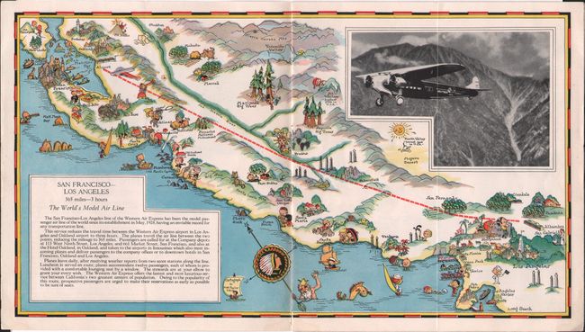
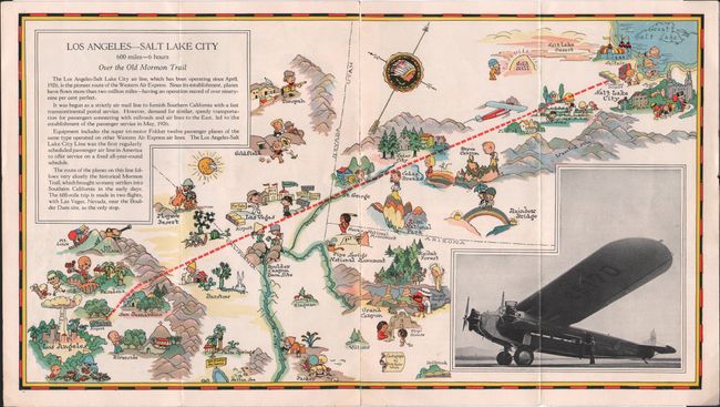
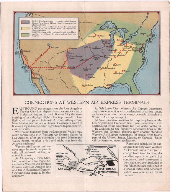
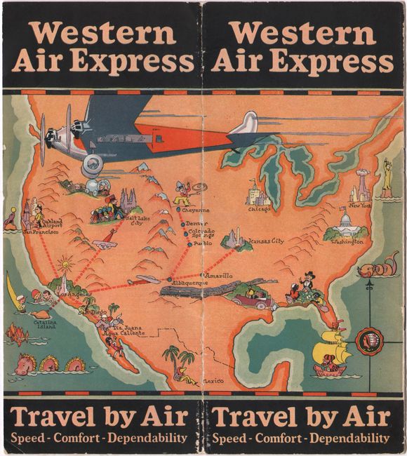
This rare and splashy 10-page brochure for Western Air Express (later Western Airlines) features the charming pictorial cartography of Ruth Taylor White. The front cover shows a simple outline map of the United States with an airplane soaring by and key destinations accompanied by illustrations (several of them unfortunate racial stereotypes typical of the era). Inside are four terrific route maps that pepper the landscape with irreverent cartooning. For instance, the first map, which shows the San Francisco-Los Angeles route, features the sun sweating over Death Valley, an arrogant star and weeping starlet in Hollywood, a rodeo cowboy in Salinas, and a devil peeking out from behind Mt. Diablo. The other route maps cover Los Angeles-Kansas City, Los Angeles-Catalina and Tijuana, and Los Angeles-Salt Lake City. Each map also includes text describing the Western Air Express experience and a black & white photograph of an airplane in flight. Another small map shows connections at Western Air Express terminals. Self-folding into pictorial wrappers (4.0 x 9.0"). White's whimsical and graphically appealing cartographs are among the most popular collectible maps of the early 20th century.
References: Rumsey #11777.
Condition: A
Contents are clean and bright with short fold separations and a few faint dampstains all confined to the bottom blank margins.


