Catalog Archive
Auction 199, Lot 175

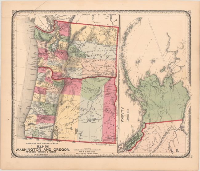
"Map of Washington and Oregon [on sheet with] Territory of Alaska", Warner, Higgins & Beers
Subject: Northwestern United States

Period: 1871 (circa)

Publication: Lloyd's Atlas of the United States

Color: Hand Color

Size:
16.4 x 13.4 inches
41.7 x 34 cm
Download High Resolution Image
(or just click on image to launch the Zoom viewer)

Two maps on one sheet. At left is a map of Oregon and Washington showing large counties to the east of the Cascades. Locates and names a number of Indian tribes, forts, and railroads including the Northern Pacific. Gold Mines, the Owyhee Mining District, and Oregon Trail are located in eastern Oregon. At right is a general map of Alaska, which was acquired only a few years prior.

References:

Condition: B+

Contemporary color on a clean sheet. A small section of border at top left has been trimmed off and replaced with border drawn in facsimile.

Estimate: $160 - $190

Sold for: $120

Closed on 9/11/2024

Archived