Subject: Southwestern United States
Period: 1855 (dated)
Publication:
Color: Hand Color
Size:
15.8 x 12.9 inches
40.1 x 32.8 cm
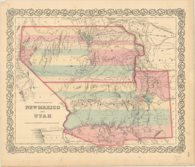
A very interesting map that depicts the region with the largest extents of Utah and New Mexico territories. Utah Territory encompasses all of today's Nevada and extends east to the Continental Divide into present-day northern Colorado with Fillmore City as its capital. Kanzas is to the east of Utah Territory. New Mexico Territory stretches between California and Texas and includes part of present-day southern Colorado and the southern tip of Nevada. Fremont's routes, proposed routes for the Pacific Railroad, the Spanish Trail, and much more are located. According to Wes Brown's article in the Portolan, this is the third state (of twelve) with Chihuahua appearing at 31 degrees west of Washington.
References: Brown (Portolan - Spring 2005) pp. 48-51.
Condition: A
Contemporary color with minor toning along the sheet edges.


