Catalog Archive
Auction 199, Lot 179
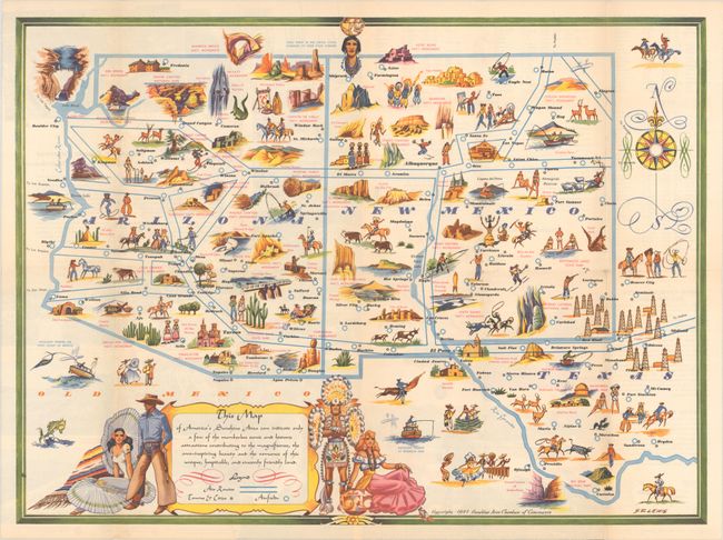
"This Map of America's Sunshine Area Can Indicate Only a Few of the Numberless Scenic and Historic Attractions Contributing to the Magnificence..."
Subject: Southwestern United States
Period: 1947 (dated)
Publication:
Color: Printed Color
Size:
23.1 x 17 inches
58.7 x 43.2 cm
Download High Resolution Image
(or just click on image to launch the Zoom viewer)
(or just click on image to launch the Zoom viewer)


