Subject: California
Period: 1856 (published)
Publication:
Color: Hand Color
Size:
9.3 x 11.8 inches
23.6 x 30 cm
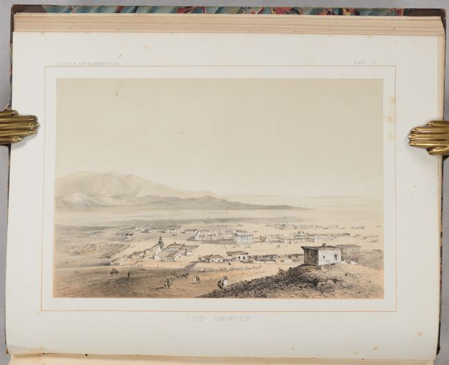
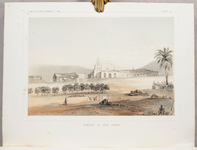
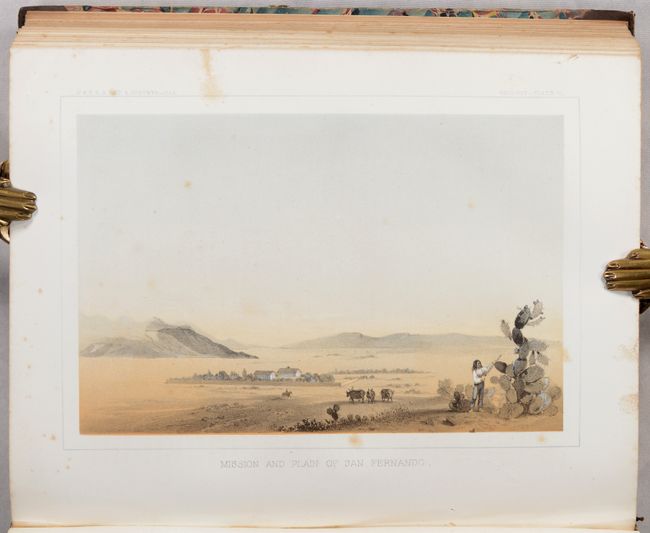
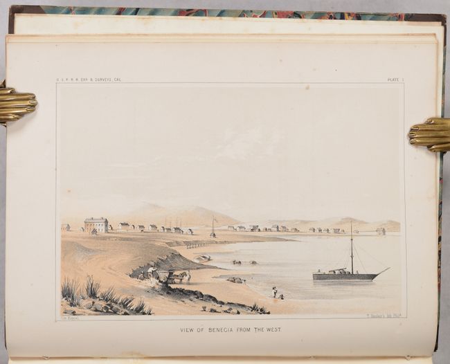
A nice set of four tinted lithographs created for Robert S. Williamson's report of his explorations in California for potential railroad routes. The lot includes:
A. Los Angeles. This is the first printed depiction of Los Angeles. The plaza is on the left with the San Gabriel Mountains in the background. At the right foreground on the hill is the former Mexican jail. Our Lady of the Angels church is at center.
B. Mission of San Diego. This charming scene of San Diego is one of the earliest printed views of the mission. The mission was the location of San Diego's first military post and it was occupied by the Army from 1847 to 1857.
C. Mission and Plain of San Fernando. This is the first depiction of the San Fernando Valley, the now urban northwest area of Los Angeles. This lovely scene shows the walled mission in left center, a rider on a horse, some cattle, and a native harvesting prickly pear fruit in the foreground. The San Gabriel Mountains are shown in the background.
D. View of Benecia from the West. A very early view of this small community in the North Bay with the Carquinez Strait in the background. Benecia was founded in 1847 and served as the state capitol in 1853-54.
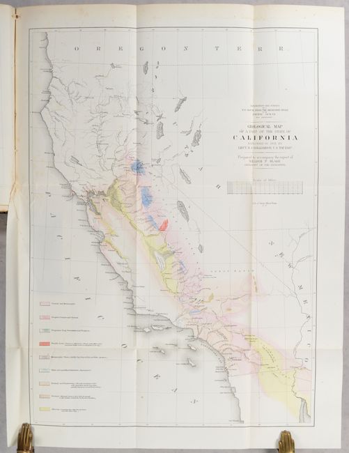
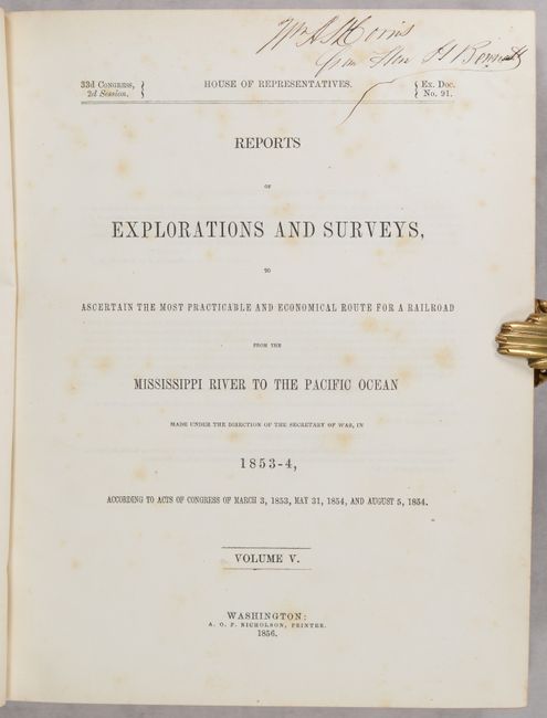
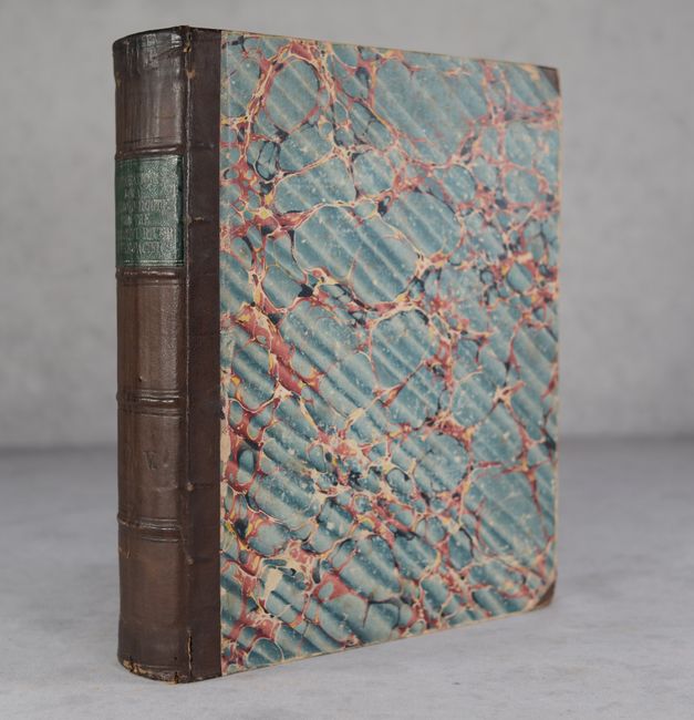
The views are still bound into the complete Volume V of the Reports of Explorations and Surveys, to Ascertain the Most Practicable and Economical Route for a Railroad from the Mississippi River to the Pacific Ocean. It is one of the most richly illustrated volumes in the series containing numerous text illustrations, 67 illustrated plates, and 7 profiles/sectional views to complement the Geological Map of a Part of the State of California Explored in 1853 by Lieut. R. S. Williamson (18 x 24.5"). The map shows the entire state with geological coloring extending from the gold mines near Sacramento on the north, to the Mexican line on the south, and from the Sierras on the east to the Pacific Ocean. Many of the important gold mining areas are shown. Lake Tahoe is shown as Lake Bonpland. Additional single-page colored geological maps for the vicinity of San Francisco, Tejon Pass and Canada de Las Uvas, and Country between San Diego and Colorado River are also present. These are among the first colored geological maps produced for the state. Contemporary quarter leather spine over marbled boards.
References:
Condition: B
Contents, including plates and map, have light scattered foxing throughout. Signed on title page. Covers are worn with bumped corners, but the binding is still intact.


