Subject: Donner Pass, California
Period: 1955 (circa)
Publication:
Color: Printed Color
Size:
17.1 x 22 inches
43.4 x 55.9 cm
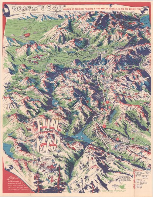
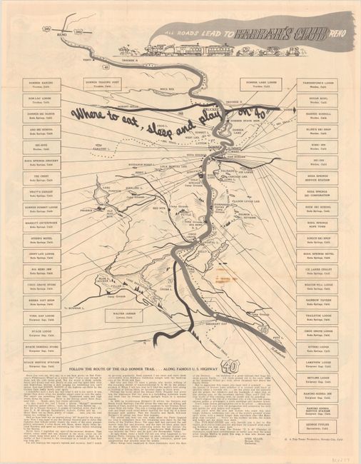
This "Trip Teaser Production" drawn by George Mathis evokes the harrowing journey of the Donner Party for a surprisingly light "fun map" of historic US Route 40, which cut through Donner Pass. The tragic story of the Donner Party is related at various points along their route, but mostly the emphasis is on the area's recreation. (Instead of tragedy, we see a wagon party full of reveling pioneers.) The map covers the Sierra Nevada range near the California-Nevada border, with Reno on the horizon. 12 ski lifts are located, and a legend identifies main highways, roads that are passable in season, public campgrounds, trails, ski trails, and emigrant routes. On verso is a map showing "where to eat, sleep and play on '40'" with text by Sven Skaar that simultaneously tells the Donner Party story and highlights the charm of the region.
References: Rumsey #8579.
Condition: B+
A vibrant example issued folding with a few tiny separations at the fold junctions and light staining near center.


