Subject: Tampa, Florida
Period: 1933-34 (dated)
Publication:
Color:
Two early 1930’s promotional maps by the Tampa Chamber of Commerce:
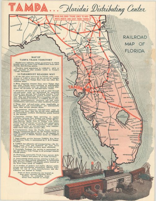
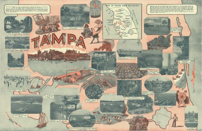
A. Tampa... Florida's Distributing Center [on verso] Tampa - The Vacation Capital of South Florida, dated 1934, printed color (8.4 x 10.8"). This four-page promotional brochure features a map of the state on the last page showing the railroad network and steamship routes. The large area shaded in pink indicates the "extent of territory to which freight rates are lower from Tampa than from other Florida distributing points." Centerfold includes photographic and illustrated views along with an inset map of the Tampa area. First page is a promotional letter. Condition: A couple of small stains, otherwise clean and bright. (A)
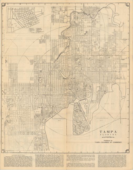
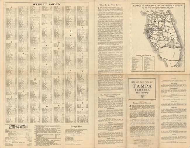
B. Map of the City of Tampa Florida and Vicinity, dated 1933, black & white (18.0 x 21.3"). This detailed map showing the street-grid pattern extends from Lowry Park south along the Hillsborough River to Davis Island. Includes an inset of the downtown area at top left, and text at bottom describes both a sightseeing and industrial tour. A street index, small highway map, and related text are found on verso. Statistics on verso indicate the city’s population at 101,161 as of 1930. At the time, Tampa was the largest producers of Havana cigars, having manufactured over 292 million cigars in 1933. Self-folding (3.8 x 9.3"). Condition: Issued folding with a couple of tiny splits at the fold junctions with minute loss. Light soiling to wrappers. (B+)
References:
Condition:
See description above.


