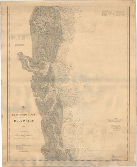
Subject: Southeastern Georgia & Northeastern Florida
Period: 1877 (dated)
Publication:
Color: Black & White
Size:
32.2 x 41.1 inches
81.8 x 104.4 cm
The Office of Coast Survey is the oldest U.S. scientific organization, dating from 1807 when Congress directed that a "survey of the coast" be carried out. By 1836, it was called the U.S. Coast Survey and in 1878, the name was changed to the U.S. Coast and Geodetic Survey. Today the Office of Coast Survey is a division of the National Oceanic and Atmospheric Administration NOAA.
The survey teams, composed of civilians as well as Army and Naval officers, charted the nation's waterways and produced a wide array of reports, survey charts, hydrographic studies of tides and currents, astronomical studies and observations, and coastal pilots. These charts are an important record of the changing nature of the nation's coastlines. In additional to coastal charts, the U.S. Coast and Geodetic Survey produced land sketches, Civil War battle maps, and the early aeronautical charts.
A detailed chart of southeastern Georgia including St. Simons Island, Jekyll Island, and Cumberland Island along with Amelia Island in Florida. It presents excellent detail of the complex system of rivers, sounds, islands, marshes and more. The waters are filled with soundings and ground types and additional tables provide information on tides, lighthouses, buoys and more.
References:
Condition: B
Professionally backed with heavy linen to repair two long tears at bottom and several short edge tears at left. A 4.5" x 2" section of border at bottom has been replaced with border drawn in facsimile. There is some minor dampstaining at bottom and light foxing at top. The grayish hue in the lower half of the image is caused by our scanner and is not present on the physical chart.


