Subject: Georgia
Period: 1822 (circa)
Publication: A Complete Historical, Chronological, and Geographical American Atlas
Color: Hand Color
Size:
9.1 x 11.5 inches
23.1 x 29.2 cm
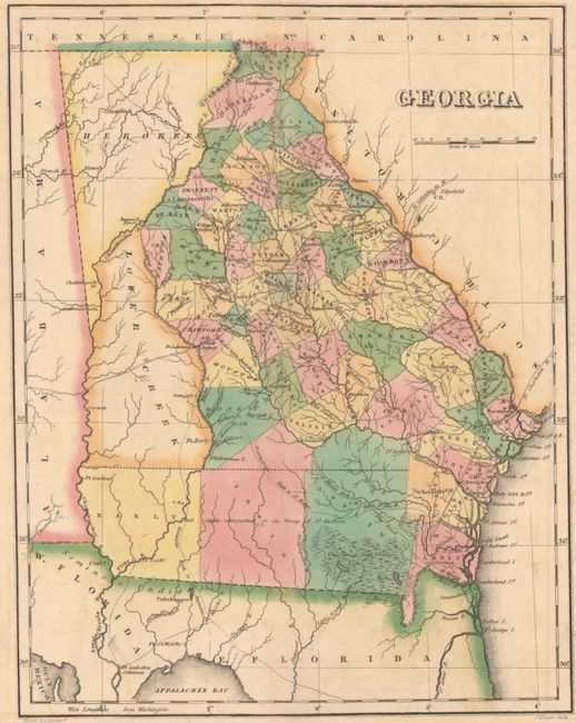
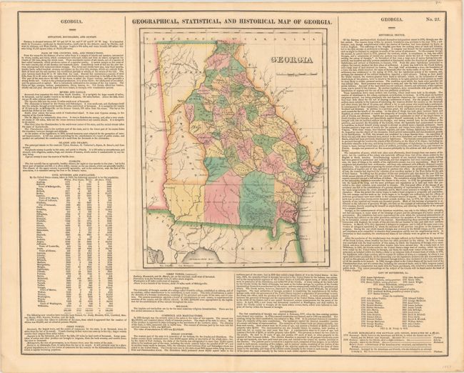
A nice, early map of Georgia with large tracks in the western part of the state shown belonging to the Cherokees and Lower Creeks. County configuration suggest a circa date of 1822 with the addition of De Kalb county from Fayette. The immense southern counties of Early, Irwin and Appling are marked with the notation, "Indian claim extinguished at the Treaty of Ft. Jackson." The map is surrounded by tables of fascinating text including census tables listing whites (189,566), free blacks (1763), Slaves (149,656) and All Others (4). Overall size with text is 20.4 x 16.5".
References:
Condition: B+
A sharp impression with full contemporary color, light offsetting, and a few errant spots of color at right.


