Subject: World
Period: 1835 (circa)
Publication:
Color: Black & White
Size:
12.3 x 9.8 inches
31.2 x 24.9 cm
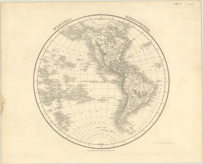
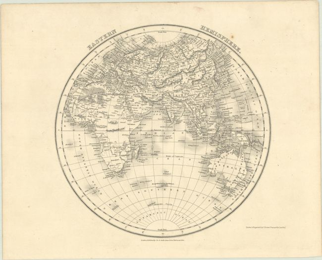
A crisply engraved pair of maps that was published by Orr & Smith in London. In the Western Hemisphere, the western boundary between Canada and the United States extends well into present-day British Columbia - an unusual representation for a British map. The Southwest is controlled by Mexico with no mention of Texas. Lake Timpanogos and Lake Teguay are located in the Great Basin along with a couple of speculative rivers emptying into the Pacific Ocean. In the Eastern Hemisphere, Africa and Australia show little to no detail in their interiors. Only Enderby Land (1831) is noted in Antarctica.
References:
Condition: A
Crisp impressions with minor soiling in the margins.


