Subject: Chicago, Illinois
Period: 1947 (dated)
Publication:
Color: Printed Color
Size:
18.6 x 24.6 inches
47.2 x 62.5 cm
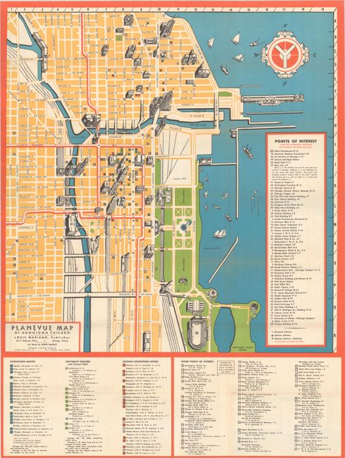
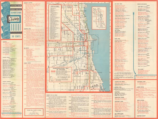
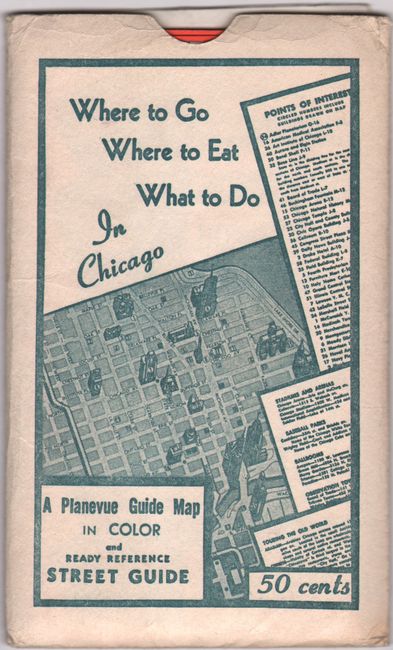
This vintage street plan view of Chicago is rendered in vibrant block colors with brightly overprinted red to delineate the Elevated Railroad. Drawn by Anne Donley. The map locates 56 sites of interest with architectural drawings, including the Art Institute of Chicago, the Board of Trade Building, the Chicago Temple, the Civic Opera House, Holy Name Cathedral, Northwestern University, Soldier Field, the Sun-Times Building, and Tribune Tower. At bottom there are lists of downtown movie theaters, "legitimate" theaters and concert halls, downtown hotels, and an 58 sites of interest not illustrated on the map. On verso is a transportation map of the city (10.0 x 14.0") with lists of places of interest to the tourist. Self folds into covers A Plane View of Guide Map of Downtown Chicago (3.5 x 6.3") with a price of 50 cents. Slips in original pocket sleeve. In the sleeve is a folding "Chicago Street Guide and Information Sheet." Published by Louis Mariano. A remarkable time capsule of the city in the post-war era.
References:
Condition: A
Issued folding with a hint of wear along the folds. Pocket sleeve is lightly worn along the edges.


