Subject: Indiana
Period: 1837 (dated)
Publication:
Color: Hand Color
Size:
12.5 x 15.1 inches
31.8 x 38.4 cm
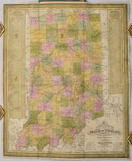
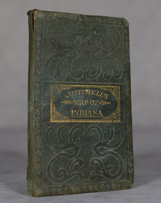
This pocket map of the state shows county development current to 1836, with the additions of Brown and Lake counties in the northern part of the state. It is filled with information intended for the traveler including roads, railroads, and canals. The National Road is prominently depicted across the center of the state and mileages are displayed between routes on the principal roads. Both "Country Ceded by the Pottawatomies" and the "Miami Reserve" are noted and there is little development in the northwestern part of the state. At left is a listing of steamboat routes and distances, and at right is the state's population by county as of the 1830 census. Printed on thin banknote-style paper and folds into green tooled boards (3.0 x 4.8") with gilt title on the front cover.
References:
Condition: B
Contemporary color with light staining and a few short splits at the fold junctions that have been archivally repaired on verso. Covers are worn.


