Subject: Boston, Massachusetts
Period: 1905 (dated)
Publication:
Color: Printed Color
Size:
17.6 x 21 inches
44.7 x 53.3 cm
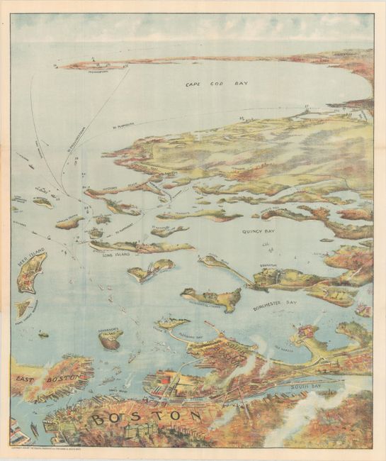
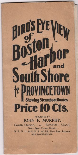
A superb bird's-eye pocket map view produced for the tourist trade. The attractively colored view folds into paper covers with title and the price - 10 cents. The map extends from South Bay all the way to Cape Cod Bay and Provincetown. This early edition does not have the numerical key listing at bottom that some issue include. This edition names 35 landmarks and lighthouses on the inside cover, all keyed to the map. Numerous ferry and ship routes are shown. The map is a beautifully printed chromolithograph with no credit given to the printing company. The map was printed by either the collotype or color gravure method by the Federal Engraving and Publishing Co., Boston. Published by John F. Murphy, news agent for the N.Y.N.H. & H.R.R. and Fall River Line Steamers.
References:
Condition: A
Clean and colorful, issued folding. There is minor wear to the covers.


